
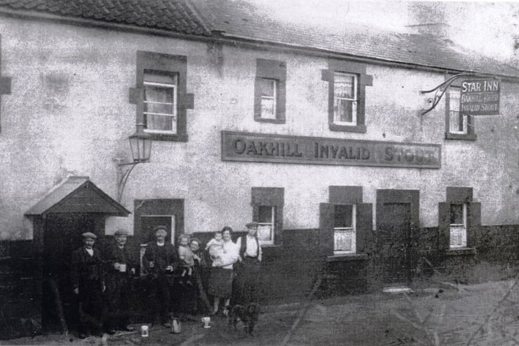
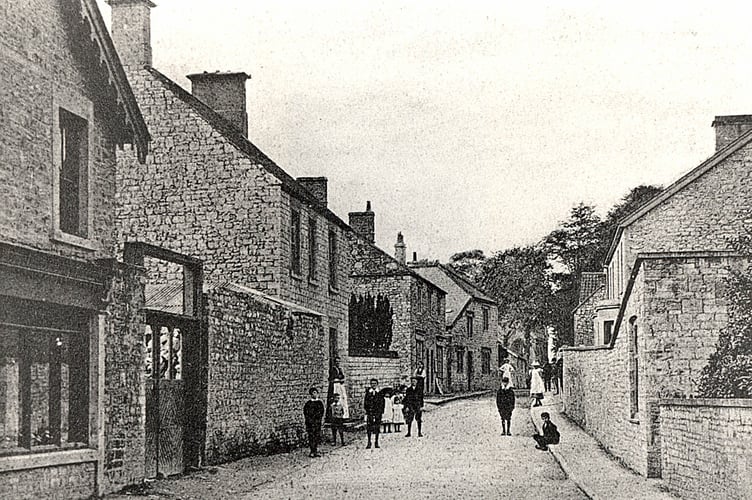
CAN you guess where this week’s Mystery Photograph was taken?
Each week, the Journal invites readers to identify a historic location from days gone by.
Roy Robinson got in touch with his guess to say: “I think this week's mystery photo is of the High Street Timsbury. In the background is St Mary's church,” while Dave Seddon emailed in to say: “I think that may be High Street, Timsbury.”
Mrs Sarah R Talbot also emailed: “I think the photo this week could be the High Street in Timsbury. I live in the nearby village of Camerton.”
Thanks to everyone - the mystery photograph does indeed show Timsbury High Street with the shop and road looking reminiscent of other old images of the High Street found on the Timsbury Parish website including one from 1953 with the old Post Office which later became the corner shop.
The website has an amazing selection of images capturing the centre of the village through the years - even showing previous photographs featured in the Journal including the family butcher shop featured in the journal in 2023 and an amazing image we used earlier this year showing the Coronation of King Edward VII in 1902.
According to Visit Somerset, Timsbury was home of geologist William Smith credited with creating the first detailed, nationwide geological map of any country.
His first attempts to map the geology of an area began with Bath in 1799. It took 14 years for Smith to get together the information needed to publish the first version of his map of Great Britain.
The Natural History Museum museum still has five copies of Smith’s 1815 map in their collection as well as more than 2,000 fossils he collected.



Thanks again to Radstock Museum for this week’s photograph.
Drop us a line with your guesses to: [email protected] or see our Facebook page