
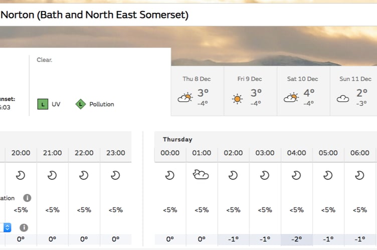
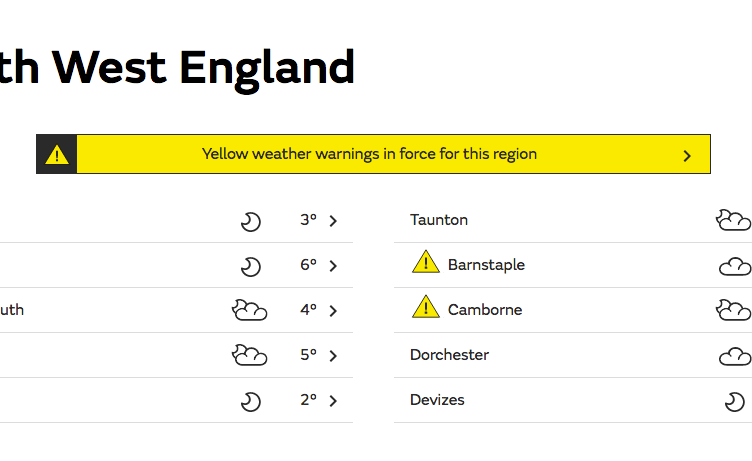
Our region looks to be safe from the Met Office’s yellow weather warning which has hit parts of the South West this afternoon as temperatures set to plummet to lows of -6c! People are, however, being warned to be careful as it hits freezing point over night.


.jpeg?width=209&height=140&crop=209:145,smart&quality=75)
Southwest set to hit freezing point tonight
Cold with wintry showers and sharp overnight frosts
This Evening and Tonight:
17:00 (UTC) on Wednesday, 7 th December 2022
Quickly turning very cold overnight with a widespread frost forming under clear skies and light winds. Minimum temperature -6 °C.
Thursday:
A frosty but sunny start in the east, and a sunny day following here. Cloudier in the west though, with a few wintry showers. Feeling cold everywhere, with light winds. Maximum temperature 6 °C.
Outlook for Friday to Sunday:
Remaining cold, perhaps with the risk of some wintry showers on Friday. Otherwise mainly dry through the weekend with spells of sunshine and a few showers. Sharp overnight frosts.
The public are being warned to drive carefully as the temperature drops throughout the night, with Midsomer Norton and Radstock looking to reach freezing. National Highways have released essential advice for motorists:
- Stick to the main roads where you can and only travel if necessary.
- Slow down – it can take 10 times longer to stop in icy conditions.
- Use a high gear – this will help avoid wheel spin.
- Accelerate gently, using low revs. You may need to take off in second gear to avoid skidding.
- You may need up to 10 times the normal gap between your car and the car in front.
- Try not to brake suddenly – it may lock up your wheels and you could skid further.
- Be extra cautious at road junctions where road markings may not be visible.
- Look out for gritters spreading salt or using snow ploughs, and only overtake if it’s safe to do so.
Comments
This article has no comments yet. Be the first to leave a comment.