CAN you guess where this week’s Mystery Photograph was taken?
Each week, the Journal invites readers to identify a historic location from days gone by.
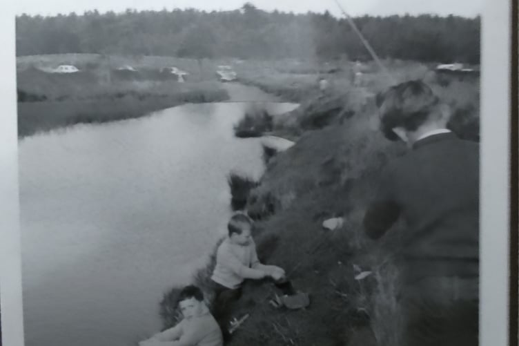
Last week we returned to a village scene which proved difficult.
Two entries from Facebook suggested Sandy Lane in Beckington while Mr James Swift got in touch to say it was Chilcompton, “the little lane down by the river”.


Unfortunately none of those guesses were correct. We had just one entry from Dave Seddon who wrote in and correctly identified the location: “Hi, think that may be Lower Lane, Buckland Dinham.” Well, Mr Seddon, you’re just about there. The village scene is Lower Street in Buckland Dinham, just outside of Frome.

The house on the right on top of the bank is, we think, the listed grade II Glebe House. Dating back to the late 18th century, the two-storey house was home to the parish curate.
In the 1822 ‘Somersetshire Delineated’ by surveyors Christopher and John Greenwood, the village is described as inhabited by 96 families, with a small amount working in agriculture but mostly in trade, manufacture or handicraft adding: the “principal part of the population is employed in the cultivation of teasles, which are used in the woollen manufactory.”
The village name descended from the Denham family who lived in the village in a large mansion since destroyed. Local signage still has the village as Buckland Denham, with the Buckland referring to the former local deer population.
Together with Great Elm, Buckland Dinham forms part of a seven kilometre circular walk through Vallis Vale, a site of specific scientific interest. More information can be found at discoverfrome.co.uk.
Let’s see how we all get on this week. Our thanks to Peter Strawbridge. If you know where it is, then let us know at: [email protected].
Comments
This article has no comments yet. Be the first to leave a comment.